Through the years, the company has not only established itself as a leader in the sector but has also actively shaped the field of territory mapping and modeling with a series of groundbreaking technologies.

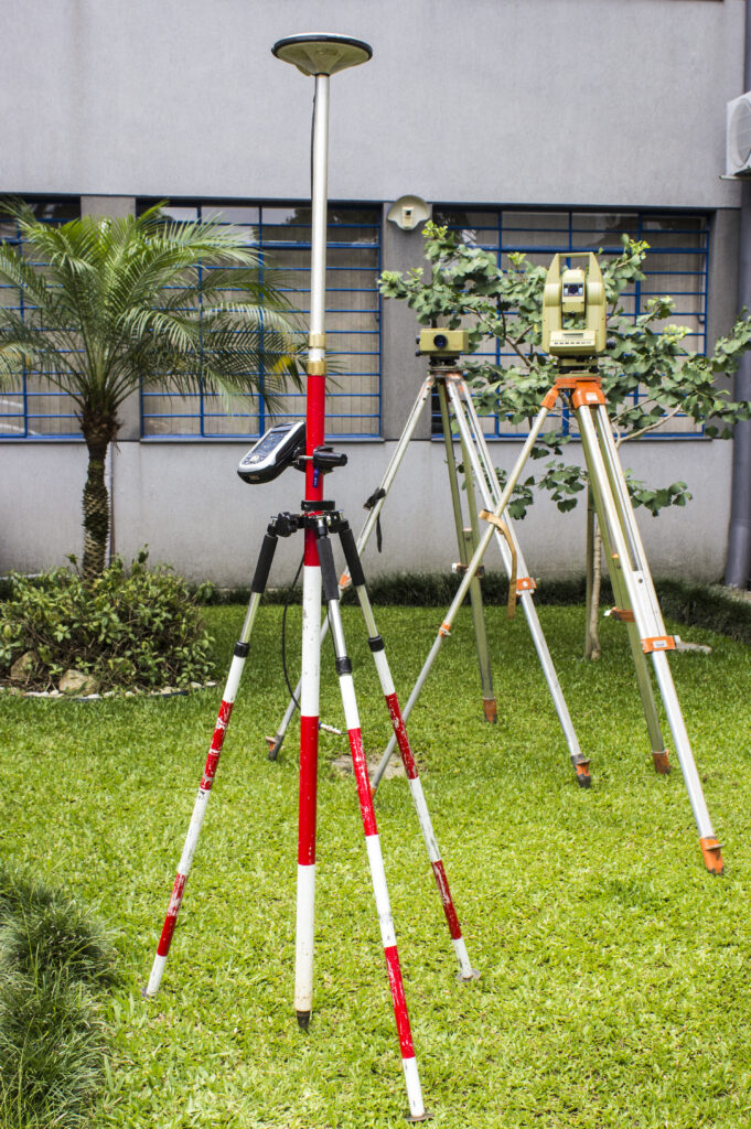
In 1990, Engefoto began developing software for georeferencing, aiming to master new geolocation technologies such as GPS. The initial programs focused on coordinate conversion and GPS Network Adjustment.
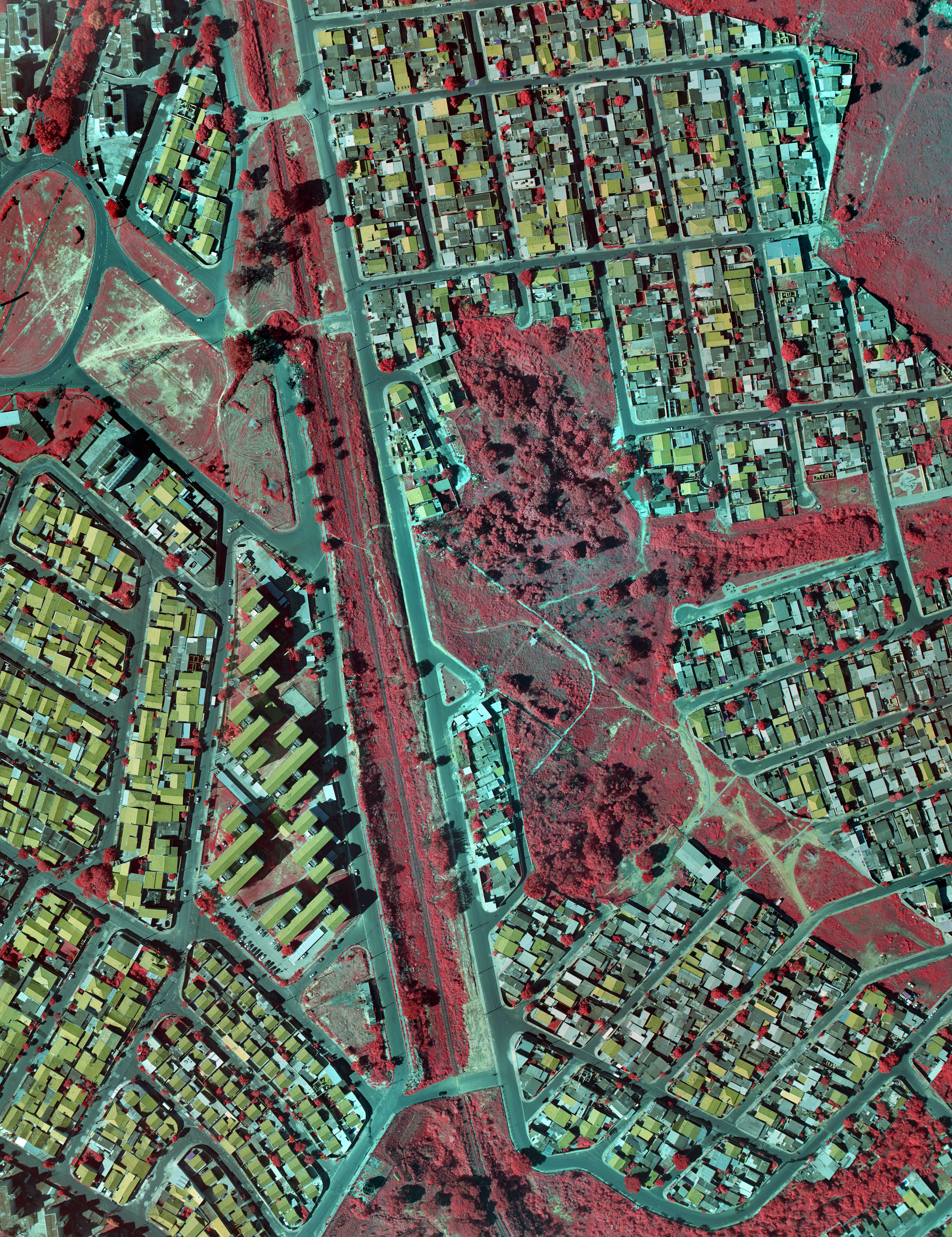
Starting in 1992, the company ventured into developing its first Phototriangulation adjustment application and digital Orthophoto generation. By 1994, Engefoto became one of the first Brazilian companies to master digital orthophoto technology.

In the 2000s, Engefoto revolutionized the Brazilian geotechnology market with GeoCompiler, a Digital Stereocompiling software enabling feature collection from aerial images. Simultaneously, the company began developing the Landrunner Mobile Mapping System, integrating digital cameras, centimeter-precision Inertial Navigation System (INS), and odometer (DMI).

During the 2010s, Engefoto reinforced its commitment to technological innovations, with a particular focus on drones. The development of SkyHover, a drone-based photogrammetry system, expanded the capabilities for capturing aerial images, providing high resolution and precision. In 2012, the company joined Tecnoparque, a Curitiba City Hall program, with the pioneering Landrunner Mobile Mapping System project, generating georeferenced images in 360°. This project, initiated by the company in the 2000s, played a crucial role in accrediting Engefoto in the Tecnoparque program.
In the subsequent years, Engefoto introduced an innovative technique for generating synthetic images, combining various digital sensors. This resulted in the creation of synthetic cameras such as the RGBN Doppia in 2014 and an Oblique System in 2019.
Engefoto has recently showcased its commitment to innovation with the RGB Stretta and RGBN Venti cameras in 2020 and 2021, respectively. The 2023 launch of the Doppia100 oblique RGBN camera further establishes Engefoto as a leader in geotechnology.
Therefore, with a consistent history and an unwavering pursuit of innovation, Engefoto stands out as a fundamental pillar in the Brazilian geotechnology landscape, playing a significant role in the ongoing progress of national territory mapping and modeling.


