Genesis
Born from the successive innovations in technology throughout history, aircrafts evolution is phenomenal and extremely impressive. Since the first time Man Flew in the Air, the Aviation domain has not stopped progressing. Drones, or unmanned aircrafts, are older than the popular belief, in fact, History quotes;
“The earliest recorded use of an unmanned aerial vehicle for warfighting occurred on August 22, 1849, when the Austrians attacked the Italian city of Venice with unmanned balloons loaded with explosives known as Austrian balloons. At least some of the balloons were launched from the Austrian ship Vulcano.”
Mission
Drone Elite is here to make sure this technology benefits the professionals, the Big Film Makers, but that it is also available for anyone who desires a good aerial footage of his wedding, festival, special event or simply a family gathering. By professionals, we mean construction engineers, aerospatial engineers, and architects but also agricultural farmers who need to better their crops and have quality control over their fields.
The main goal of Drone Elite is to flood the market with drones working incongruity with professionals to help them in their everyday tasks, save time for everyone, and make work fields a lot more secure.
,
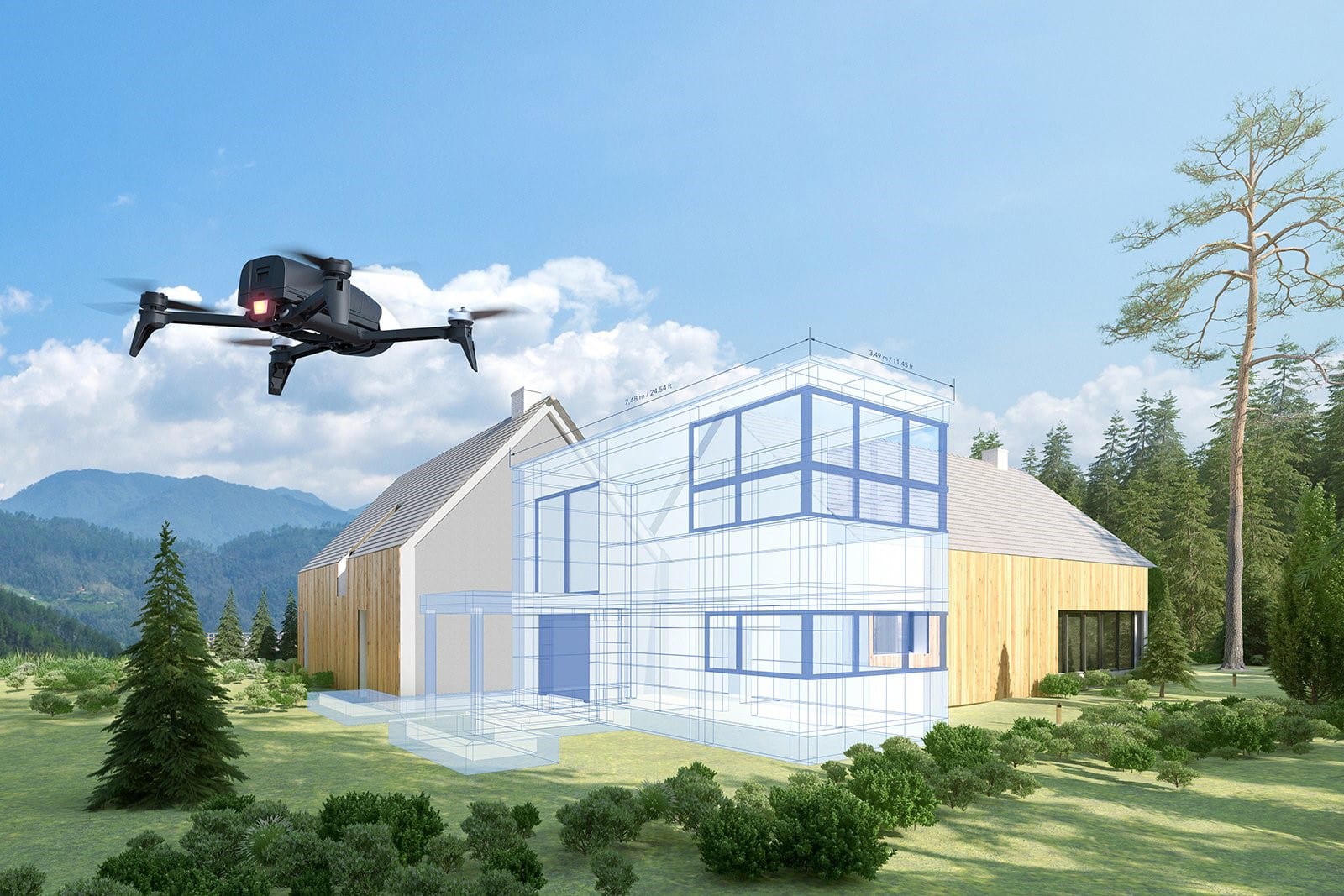
UAV 3D Mapping for blueprint
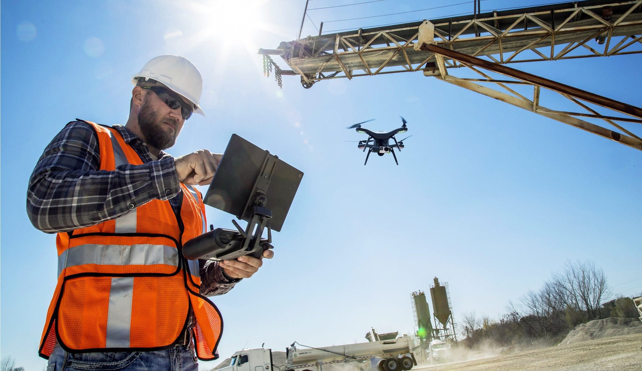
UAV used on construction sites
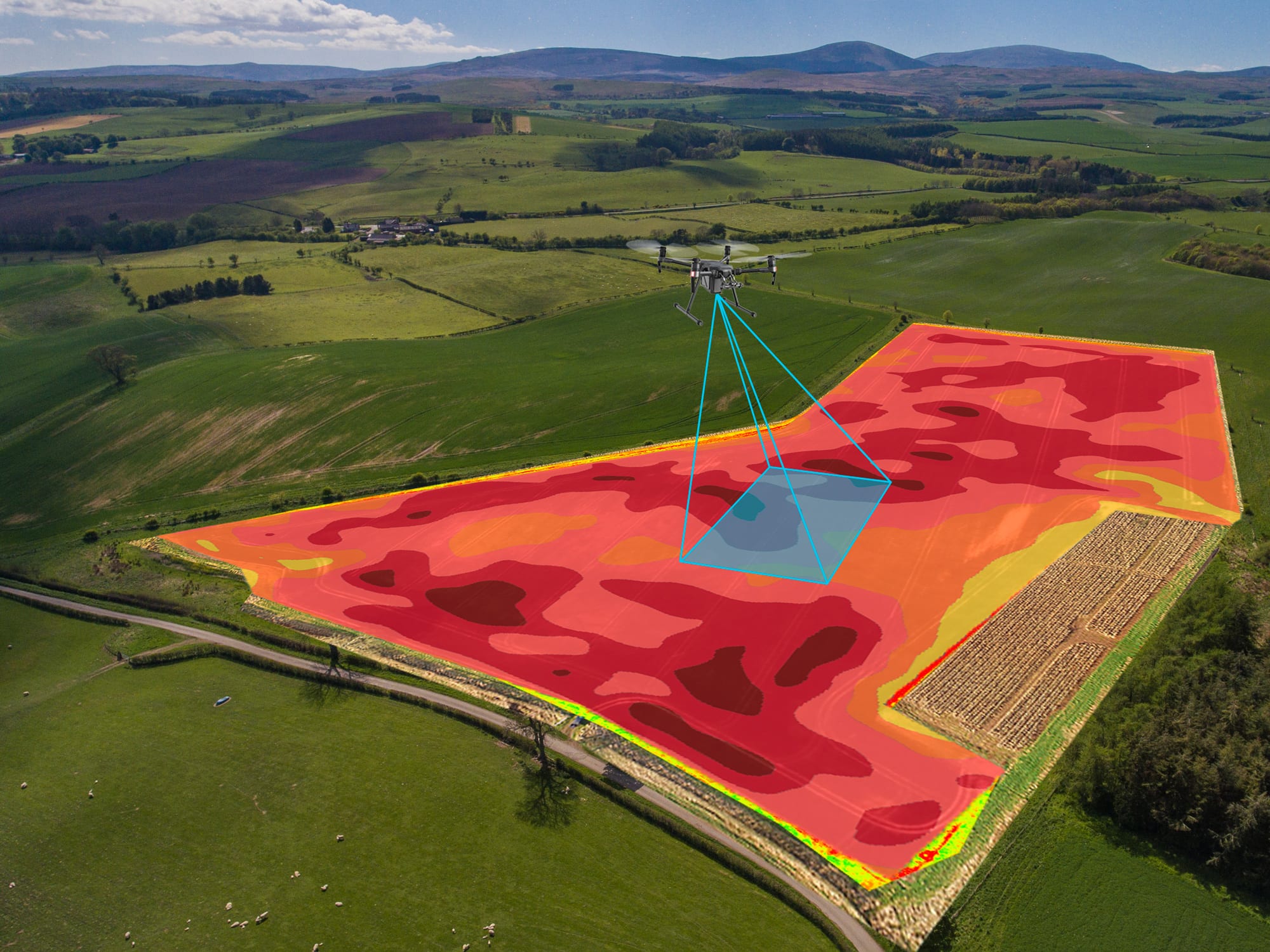
UAV Crops Thermal Inspection
Usages
Firstly, unmanned aircrafts can be used for simply capturing the beautiful moments that we share with our loved ones, family and friends; but also co-workers, business conferences and so on. Millions of users employ it as a hobby, especially in the movie-making industry, drones are more and more popular every year as they simplify tasks but also reduce elevated costs for filming aerial footages. On the other hand, the magic lies in its professional utility as an inspection tool allowing to provide faster workloads and more precise than any human could accomplish.
Today Drones can inspect buildings, bridges, and even airplanes like the Airbus company in Europe are using on their large aircraft in order to reduce time consumption and facilitate the job for the engineers.
New technology gets developed yearly as add-ons made for drones like infrared and thermal cameras capable of detecting slight defects invisible to the naked eye such as drowned areas on a farm field or a potential weakness in an aircraft’s fuselage. Also, drone software is getting more sophisticated and intelligent, capable of completing difficult tasks with multiple waypoints when 3D mapping a complex structure.

Joseph Massoud
Almost always the tallest guy in the room, Joseph never failed to catch the eyes with his charisma and enthusiasm, big smile and loud laughs. Always looking for the next challenge, even video games will be played at the hardest difficulty possible. As a university graduate in international business law and relations, Joseph did not think a 9-5 shift daily would satisfy his desire for innovation. A few years back he started working as an aerial photographer renting small size planes hopping on board with his Canon 5D as his weapon of choice, as he would fly all over east of the Canadian territories from Ontario, Quebec, New Brunswick, and even Prince Edward’s Island, taking pictures for large agricultural companies and construction sites.


