Our History
Founded in 1990, with headquarters in Curitiba – PR, it initially began operating in the field of Architecture and Civil Construction, in activities related to the execution of architectural projects and civil engineering works. With the registration in category “A” from the Ministry of Defense and ANAC obtained in 2000, the expansion in aerial surveys and execution of Topography and Cartography services began throughout the national territory.
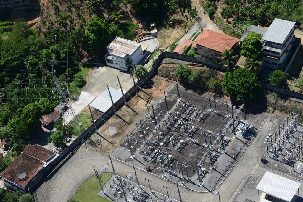
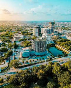
Aerosat is a company that provides specialized aerial survey, geotechnology and cartography services for infrastructure, environmental, energy, mining, oil and gas projects. We provide cartographic products in the various areas of aerial photogrammetric coverage, laser profiling, photogrammetry, cartography, technical registration, geodesy, topography and GIS, for customers who require analysis and decision-making in projects involving territorial and strategic planning, implementation of works, expropriation and land regularization.

Our Pitch
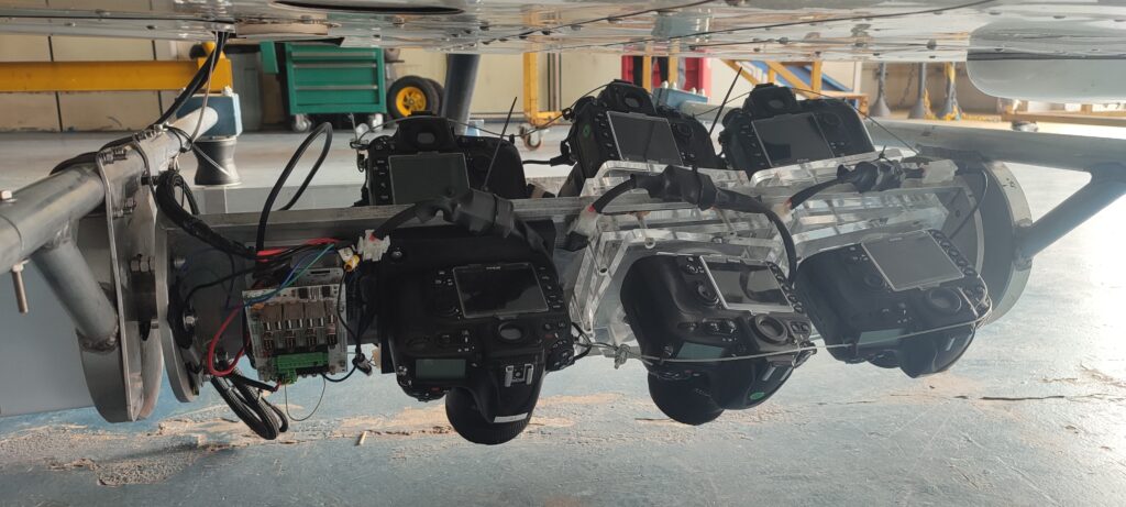
With the increasing need for inspection of Transmission Lines, Aerosat, in partnership with other consultants, is developing a 3D imaging system with Artificial Intelligence (AI) interpretation to detect anomalies. The system is mounted on a helicopter, flying parallel to the LTs at a height of 300m at a speed of more than 120 km/h.
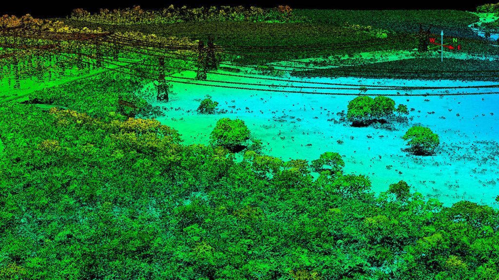
This translates into a greater daily output at a safe height and speed for helicopters than the traditional visual method, which is 120m height and 60 km/h considered critical. High-resolution 3D georeferenced images can be post-processed in the office with the help of AI for refined analysis of loose cables, broken insulators, corrosion, erosion, right-of-way invasion, the need for pruning, among other visually detectable anomalies. The Technology can also be used for Oil Pipelines, Gas Pipelines, Railways, Highways or other types of corridor works.
