Co-founded by University of Toronto graduates, Bashir Khan, Ayaan Haider and Shayaan Haider in 2018, AirMatrix builds the world’s most precise drone road systems. AirMatrix is innovating at the bleeding edge and is affiliated with Communitech, MaRS, IRAP and DMZ.

AirMatrix is a member of Transport Canada’s action team on drone traffic management and sits on the Standards Council of Canada committee on drones, in coordination with the National Research Council and NASA working groups.

We are at a similar place with drones now as we were at the turn of the twentieth century with cars. The next step is to build the roads with traffic systems that everyone knows and follows. Without roads, there are no traffic rules, and every operator will plan their own route – whether it’s for one drone or an entire fleet. Many drone operators plan their routes on GPS maps with uncertainty of up to 6-meters. In tight, urban spaces, a 6-meter error can yield dire consequences. This makes the scaling of autonomous flights in a shared airspace extremely difficult.

AirMatrix solves this problem by constructing maps based on proprietary datasets of real-time traffic, geospatial data, and weather, with 100x more precision than Google Maps, or any other platform.
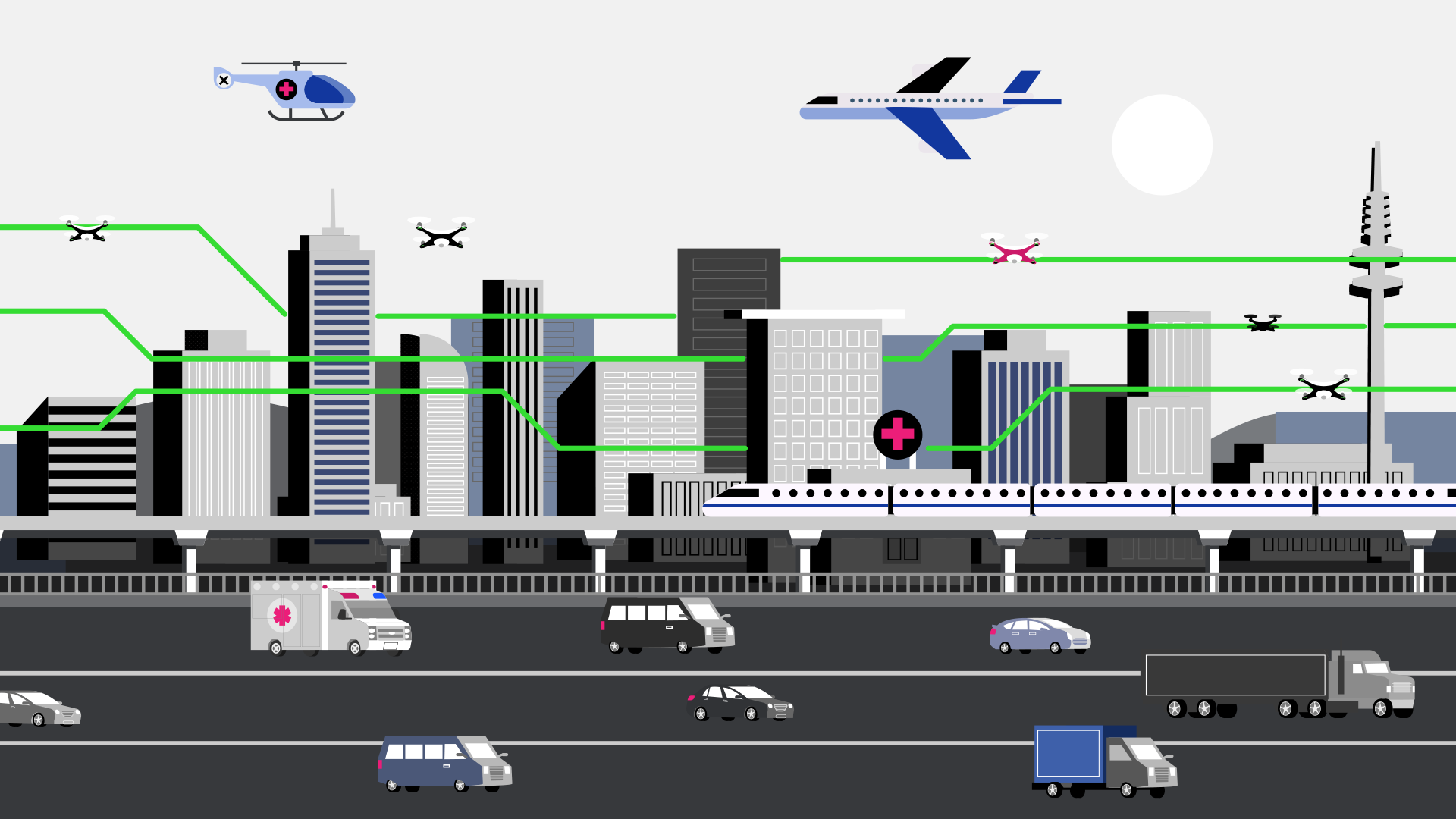
AirMatrix helps cities and enterprises prepare for, manage, and enable drone operations by building millimetre-precise aerial highways for dense environments. With their network of skyways, AirMatrix provides a unique software application for the 3D routing, and command and control of multiple drones simultaneously. This enables safe and reliable monitoring and control of heightened traffic to facilitate growth in new industry
applications as well as brand new industry segments.

AirMatrix is the first UTM in Canada with municipal customers: Calgary, The Region of Waterloo and expanding. By 2023, AirMatrix will have 100 cities mapped internationally and, with seven (7) patents pending, they have an innovative, software first approach.
The AirMatrix platform is interoperable and leverages real-time proprietary air data, making AirMatrix’s UTM software industry-leading with trailblazing features such as 3D Route Optimization, Dynamic Geofencing, Autopilot API integrations, Dynamic Rerouting, and more.


